Rerouting a Road Trip Around Wildfires or Flooding
Early warnings and better predictions now let travelers reroute before closures force their hand.
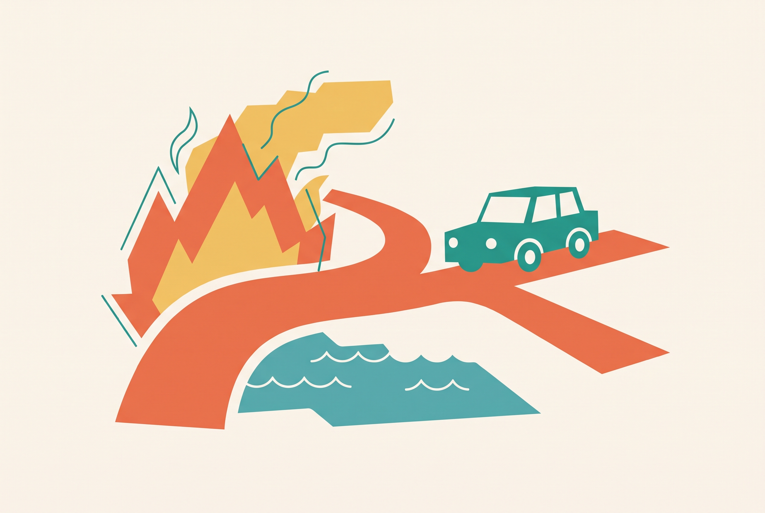
Rerouting a road trip around wildfires or flooding takes more than finding another road. It takes early monitoring, clear reasons to change course, and a replacement plan for where to sleep, stop, and travel next. The goal is to act while choices remain, rather than wait until a closure makes the decision for you.
Why wildfires and flooding now outpace static road trip itineraries
A road trip booked weeks ahead assumes the roads, overnight stops, and activities will still fit together on departure day. Wildfires and flooding can break that assumption within hours. From the ground, a traveler gathering belongings may have no way to tell which direction a fire is spreading. A road that looks open on a static map may already be closed. The mismatch is between a plan fixed in time and a hazard that keeps moving.
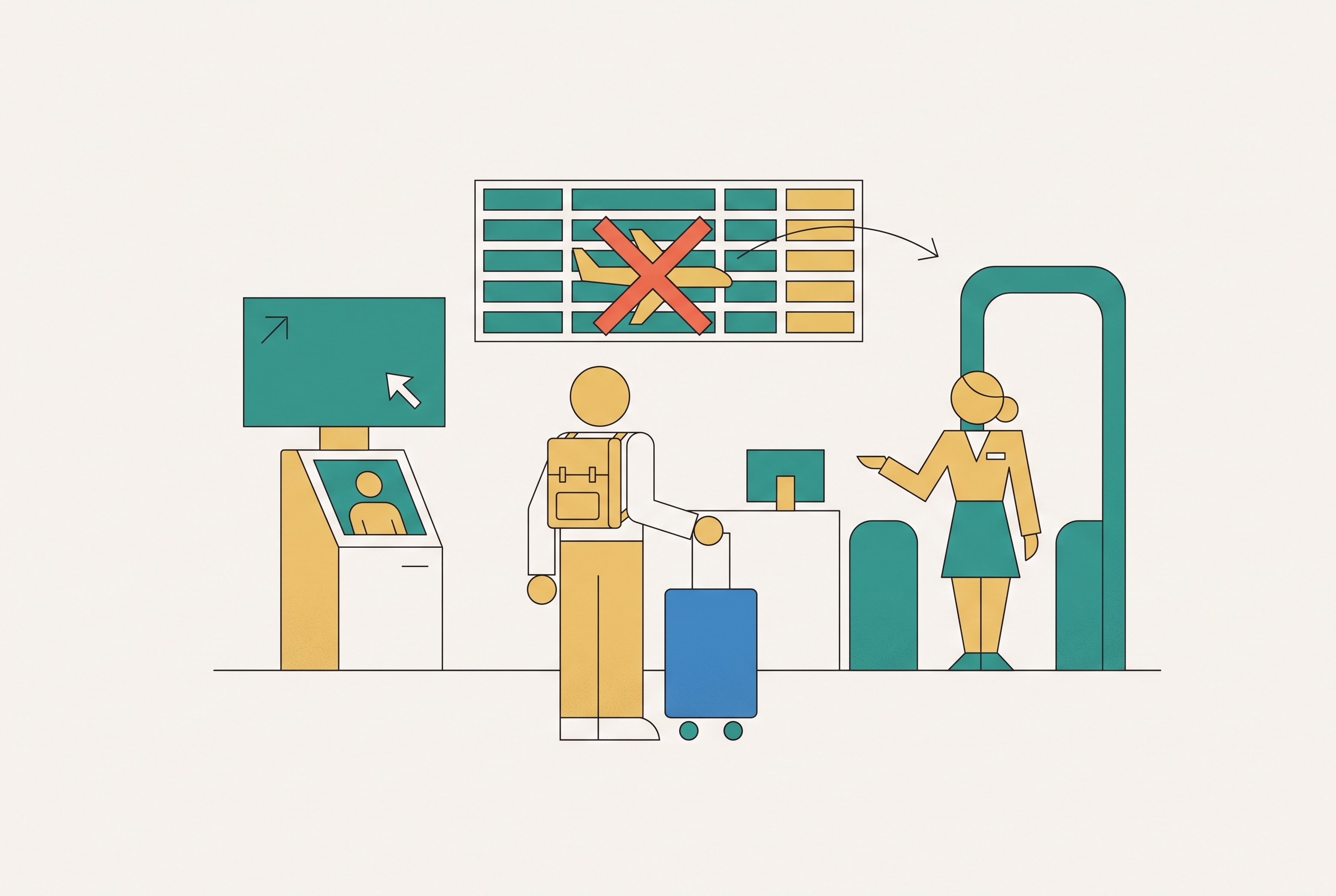
TRSS's 2026 briefing documents overlapping disasters that disrupted whole transport systems, including Iberian storm floods, the second-highest UK wildfire season on record, and sustained Asian monsoon flooding. More than 11,000 emergency personnel were deployed to the Iberian storm floods. Across affected regions, flights were grounded, rail services suspended, roads cut, and power lost. Wildfires in the Mourne Mountains, Brecon Beacons, Elan Valley, and Peak District forced road closures, putting destinations long considered climatically safe within the scope of the problem.
These disruptions matter because a trip depends on a corridor. That corridor includes the roads, accommodation, fuel stops, and activities that make the journey possible. When fire or flooding severs it, an alternative road may not preserve the rest of the trip. The plan needs layers of warning and a way to change before its dependencies start to fail.
How wildfire and flood prediction has improved — and what it can now tell a traveler days ahead
Better prediction makes that earlier decision possible. USC Viterbi's model, published April 2026, combines VIIRS polar-orbiting satellite data with GOES geostationary satellite data, which updates every five minutes. It also uses terrain factors, including slope and elevation, to reconstruct fire progression and forecast where a fire will go next. The key variable is ignition time. Knowing when the fire started helps reveal how fast it is moving.
That distinction is more useful than a dot showing where heat was detected. A fire detected at a given moment could represent a slow smolder or a two-hour sprint. Its current position alone does not tell a traveler which history produced it. Reconstructing that history narrows the uncertainty about what comes next.
USDA Forest Service's FireCon uses neural network inference and machine learning to account for daily changes in fire weather and fuel dynamics when assessing fire containment suitability. It is built for emergency managers and responders. PDC's DisasterAWARE, through its NASA partnership, continuously receives VIIRS and MODIS satellite data, filters out non-wildfire heat sources such as power plants and volcanoes, and issues near-real-time alerts and analytics. It serves a broader audience, including governments, enterprises, and insurers, but is not designed directly for leisure travel either.
The planning benefit is lead time. A fire's likely path over the next hours is increasingly knowable before it arrives, while multi-day flood warning is achievable in many regions. Neither means every local outcome can be predicted. It means travelers have more opportunity to change course deliberately. That opportunity only helps if monitoring starts before conditions deteriorate.
The monitoring stack a road tripper should have running before leaving home
The night before leaving, the route should already have official emergency alerts, weather information, road-condition feeds, and land-management notices within reach. Each answers a different question. Together, they help distinguish a distant incident from a threat to the roads and stops the trip actually needs.
Treat live wildfire maps as supplementary information. fire.ai explicitly warns that detection can be delayed, incomplete, or wrong, and says not to rely on it for safety decisions. Even a map that looks precise has those limits. Always follow official emergency alerts and evacuation orders from the local authorities. In an emergency, call 911.
EPA's AirNow app, developed by the AirFire Research Team, provides real-time air quality and smoke information to the public. The rapidfire model behind it combines multiple datasets to produce near-real-time gridded fine particulate matter data for wildland fire smoke conditions. For a traveler, smoke can be an early sign that fire activity is affecting a corridor before road closures are posted. National Weather Service river gauge alerts and flood watches cover several days at a time. Set alerts for counties along the route so the warning coverage matches the journey.
Before leaving, bookmark state DOT traffic alerts and state road-condition phone services for the route. These give official details of closures without having to wait for a third-party update that may be late. Add national forest and park closure notices from the managing agencies, because those notices often precede road closures. If the trip depends on connecting flights or rail services, keep track of those too. A road may still be open while another part of the trip has stopped working.
Signals that mean reroute now, not wait and see
Waiting is the most common rerouting mistake. Early warnings get treated as background noise until a closure forces action, when the best alternatives may already be gone. A warning should guide a change of plan when it affects the planned corridor on the days of travel. General fire activity somewhere in the region calls for monitoring. A confirmed active incident within the corridor calls for changing the plan.
Reroute when Red Flag Warning or Extreme Fire Danger conditions are forecast along the route for the travel days. Those conditions allow new ignitions to spread rapidly and unpredictably. Air quality reaching unhealthy levels for sensitive groups along the route is another reason to reroute, because smoke can be a sign that conditions are getting worse before a road closes. USC Viterbi's research also makes the importance of growth rate clear. A fire that has covered substantial ground in a short window leaves less time for a decision than its perimeter alone might suggest.
For flooding, a flash flood watch or warning in any county the route crosses is a reason to reroute. River gauges at or nearing flood stage are another clear reason to reroute. Rivers can cut a road network. TRSS's 2026 briefing documents extreme rainfall in parts of a region within a single day. Roads can close within hours of rain beginning, so waiting for the rain to end is not a workable threshold.
Early action also protects the practical choices that make a detour possible. When a corridor closes, travelers move toward the same alternatives, accommodation fills, and transport and lodging prices rise. Families with fixed travel windows can pay a premium for that delay. Acting on a 48-hour forecast preserves access to inventory and pricing that a same-day decision cannot recover.
Why rerouting one road is not the same as rerouting the trip
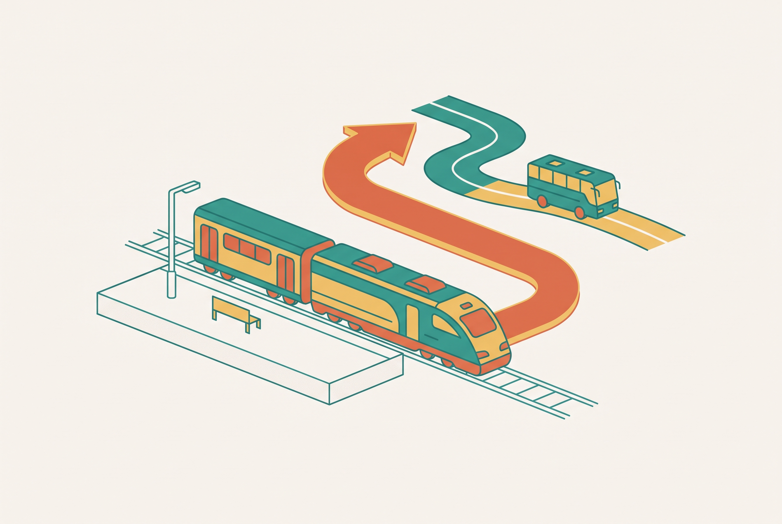
Swapping one road for another leaves the rest of the itinerary looking intact, even when it no longer works. A detour that adds four hours can invalidate that night's reservation and the next morning's activity. The following night's hotel may also need to change if it remains in the affected area. When a route moves into another state or region, it changes which places to stay have room, where fuel is available, and which emergency services cover the route. The new road is only the first change.
A full reroute therefore needs an open replacement corridor, accommodation along it, revised timing, and activities that fit the new path. Existing cancellation and change policies also become part of the decision. Changing the overnight stop changes when the next day's travel starts, which changes what can still fit before the next reservation.
How to rebuild the full plan quickly when conditions force a reroute
The order of work matters. Confirm the alternative corridor first, secure accommodation next, rebuild the timing and experiences around it, and handle cancellations last. Reversing that order can leave a traveler without the original booking or a workable replacement. The aim is to establish the new plan before dismantling the old one.
Start with state DOT and road-condition feeds for the other route being considered. A plausible route on a map may already be closed. Cross-reference it against active incident maps and national forest or park closure notices, because the detour may pass through hazards of its own. Official agency sources are the authority on whether a road is open. An AI tool's confident suggestion is not proof that the route is usable.
Once the corridor is checked, book a place to stay along it before canceling the original stay. Other places to stay fill up quickly when a closure sends travelers in the same direction. Look for places to stay with flexible or same-day cancellation policies so plans can change again if conditions shift. The replacement's location along the new route becomes the anchor for rebuilding the next part of the journey.
Then treat the new corridor as a fresh itinerary segment. Choose stops and experiences that fit the new path rather than forcing in parts of the original plan that no longer make sense. Adjust departure and arrival times for the added distance and potential traffic on shared detour roads. Account for any fuel or rest stop gaps on the alternative route as well. This turns a road substitution into a schedule that can actually be followed.
Handle cancellations with the official documentation that prompted the change. Many properties and activity operators offer force majeure or weather-related cancellation terms, so check the policies on the bookings already made. Save the NWS alert, DOT closure notice, or evacuation order. Travel insurance covering natural disaster disruption is most useful when a claim has that official support. A record of the warning or closure gives the cancellation request a clear basis.
A conversational AI travel assistant can help with the parallel work of searching accommodation, checking road-status information, repricing experiences, and reassembling the itinerary. This is where the tool earns its place, by coordinating changes that are tedious and error-prone across separate tabs.
Building a road trip plan that can absorb a reroute before one is needed
For a trip through fire-prone or flood-prone terrain, identify one or two plausible alternative corridors during the original planning. Note the segments that pass through national forests, canyons, or river valleys, where closures can be especially hard to work around. Those are the places where advance thought has the most value. Even a route found before the trip needs a fresh road-status check when it is needed.
Booking choices determine how expensive that change will be. Prioritize refundable or flexible-rate accommodation, especially for the first and last nights of each corridor segment. Choose activities with weather-related cancellation policies to reduce the cost of moving the schedule. Avoid prepaid non-refundable bookings in high fire-risk or high flood-risk seasons unless the money saved is clearly worth the risk. Flexibility is not an extra attached to the route but part of what makes the route workable.
Extreme weather is increasingly an operating condition of travel. The plan that survives is the one designed to move.
Sources
- The Fire Forecast: AI Model Accurately Predicts the Spread of Wildfires in Real Time - USC Viterbi
Described the USC Viterbi AI model that combines VIIRS and GOES satellite data with terrain factors to reconstruct fire progression and forecast spread, including the role of ignition time.
- Leveraging AI to Support Wildfire Response With Research ...
Described the USDA Forest Service's FireCon system, which uses neural network inference and machine learning to assess fire containment suitability based on fire weather and fuel dynamics.
- Anticipating wildfires: New AI-enhanced risk intelligence
Described PDC's DisasterAWARE platform, which continuously receives VIIRS and MODIS satellite data, filters non-wildfire heat sources, and issues near-real-time wildfire alerts.
- fire.ai — Live Wildfire Intelligence
Cited as a live wildfire map source and provided the caveat that detection can be delayed, incomplete, or wrong and should not be relied on for safety decisions.